Outsmarting Landslides with Drones
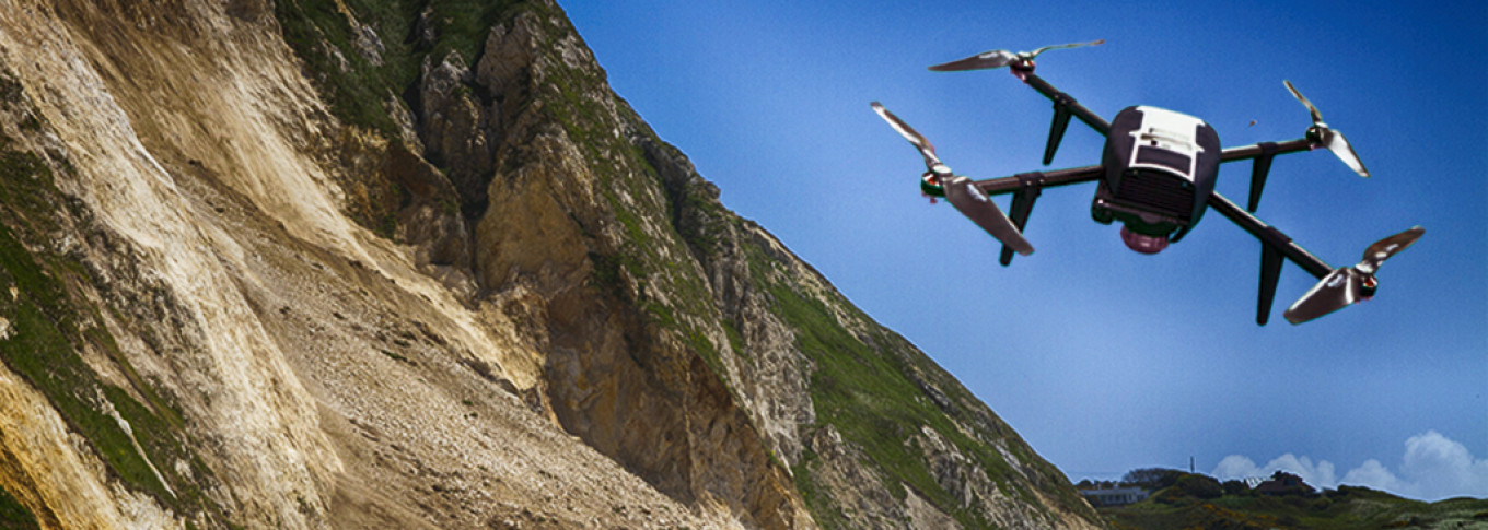
As the rules of unmanned aerial systems (UAS) continue to evolve, and many people still have reservations about the safety of the technology, we’ve been deploying our drones to make communities safer by monitoring current and potential landslide areas around the country.
This is an active weather time, with parts of our country, especially the states in the east, experiencing historic rains. Access to this terrain can be challenging, and viewsheds from ground level can be blocked by overgrown vegetation.
That’s where our UAS imagery comes into play. Our team is collecting high-resolution aerial imagery via UAS and generating 3D data after slope failures. For a project in West Virginia, we’re doing this type of work on a few recently developed parcels of land. It gives us a tool to get as close as possible to these remote and often unstable areas in a quick and safe manner. And since it’s fast, and we’re efficient, we are completing the process in less than 24 hours.
The 3D data collected during this event and others like it can be used by engineers to not only identify but also design reinforcement and mitigation strategies to help stabilize these dangerous slopes.
We’ve been conducting UAS projects with various states’ departments of transportation, departments of natural resources and oil and gas developers, and identifying slopes of a designated percentage for road and highway construction as well as land development. For instance, if a slope next to a road is greater than 30 percent, there is a higher probability of a landslide occurring and/or for debris to enter a roadway corridor. Our technology and processing capabilities can determine these risks so that preventative actions can be taken.
There is value in collecting imagery before, during and after a landslide because, from the resulting data, we can better understand the mechanics of these natural disasters. Then this information can be used to prevent future landslides, and we can better protect the public, our industries and our resources.
Is that Yeager?